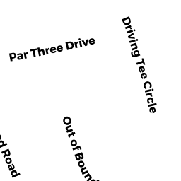
47 DRIVING TEE CIR
Owner Information
MURPHY MARGARIET B
47 DRIVING TEE CIRCLE
SOUTH YARMOUTH, MA 02664


Property Details
47 DRIVING TEE CIR is classified as a Single Family Residential (Ranch).
The primary structure on this property was built in 1983. There are 4,200ft2 of built area within this property. There is 1,624ft2 of residential/living space within this property. This property is listed as having 6 rooms.
47 DRIVING TEE CIR is valued at $523,100. The land is valued at $155,400 and the structures are valued at $364,700. There is an additional valuation of $3,000 on this property.
The most recent deed for 47 DRIVING TEE CIR is recorded at the local registrar in Book D1019196, Page 0. 47 DRIVING TEE CIR was last sold on Friday, November 18, 2005 for $475,000.
Assessment data from fiscal year 2022.
Flood Data
According to the FEMA National Flood Hazard Layer, this property does not appear to be in a flood zone. It may also be in an area not yet reviewed. Nonetheless, confirm this information prior to taking any action.
To view the flood hazards around this property, create a FEMA "Firmette" Map of the area around 47 DRIVING TEE CIR.
Broadband Internet Providers
| Provider | Type | Bandwidth (mbps) | |
|---|---|---|---|
| VSAT Systems, LLC. | Satellite | 2 | 1 |
| Comcast | Cable | 1000 | 35 |
| GCI Communication Corp. | Satellite | 0 | 0 |
| HughesNet | Satellite | 25 | 3 |
| Verizon New England Inc. | DSL | 7 | 0 |
| Viasat Inc | Satellite | 35 | 3 |
Broadband service provider data from December 2020.